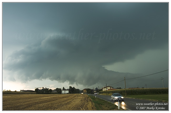
Dinsdag 24 juli heb ik een hevig onweer meegemaakt in Porec, in Kroatie. Wat nu blijkt volgens Skywarn forum dat het waarschijnlijk supercells zijn die ik heb voorbij zien komen. Werkelijk fantastisch natuurlijk. Ik heb de fotos nu niet bij de hand, maar die komen maandag. Intussen kun je je vermaken met deze foto's. Ik kan vertellen dat het er wel ongeveer zo uit zag, en ik heb er foto's van. Kan niet wachten om ze te laten zien! Zie ook link...
Estofex voor die dag:
...NE Italy, Slovenia, Austria, W Croatia...
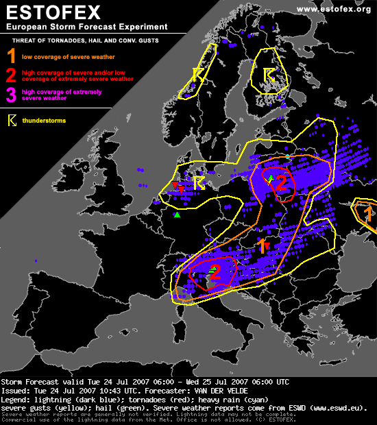
Estofex voor die dag:
...NE Italy, Slovenia, Austria, W Croatia...
GFS indicates more than 1000 J/kg MLCAPE over northeastern Italy in advance of the cold front. Weak capping will result in early formation of storms, that will develop into supercells or a linear system under very strong shear conditions: 20-30 m/s 0-6 and 1-8 km shear vectors, around 150 m2/s2 SREH. Large hail is the primary threat, while also severe gusts may be produced. Low level shear and veering with height are a bit limiting for the tornado threat, but these are best over southern Slovenia and Croatia... while better low level CAPE is present north of this - not an ideal setup for tornadoes going by GFS.
Bericht laatst bijgewerkt: 04-08-2007 10:16
Thunder is good, thunder is impressive; but it is lightning that does the work. - Mark Twain -