Drie op een rij:
GOES-13's Family of Tropical Cyclones: Tropical Storm Karl, Hurricanes Igor and Julia
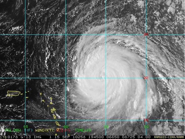
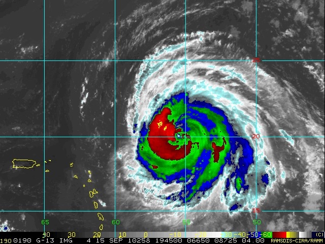
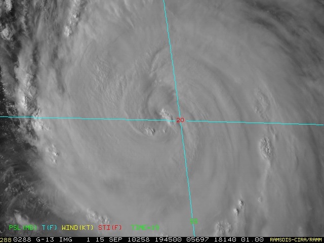
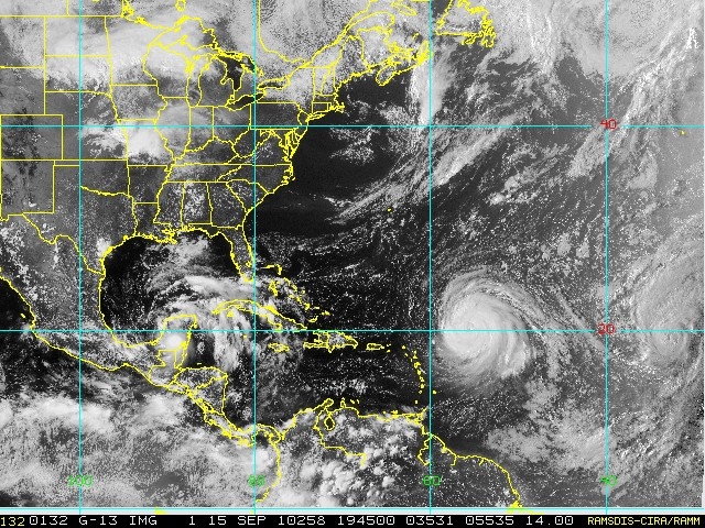
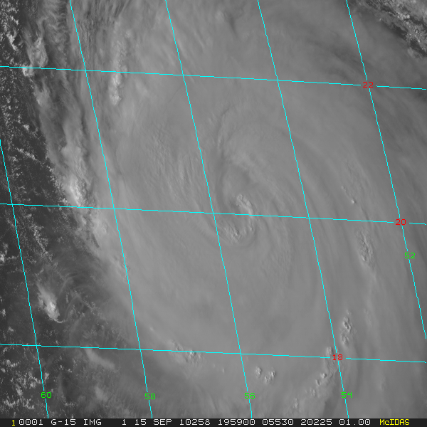
On September 15, three tropical cyclones were active in the Atlantic Ocean basin, two of them powerful Category Four hurricanes on the Saffir-Simpson scale. The Geostationary Operational Environmental Satellite called GOES-13 satellite captured an image of Tropical Storm Karl and Hurricanes Igor and Julia in one image on Sept. 15 at 1445 UTC (10:45 a.m. EDT).
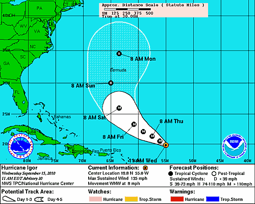
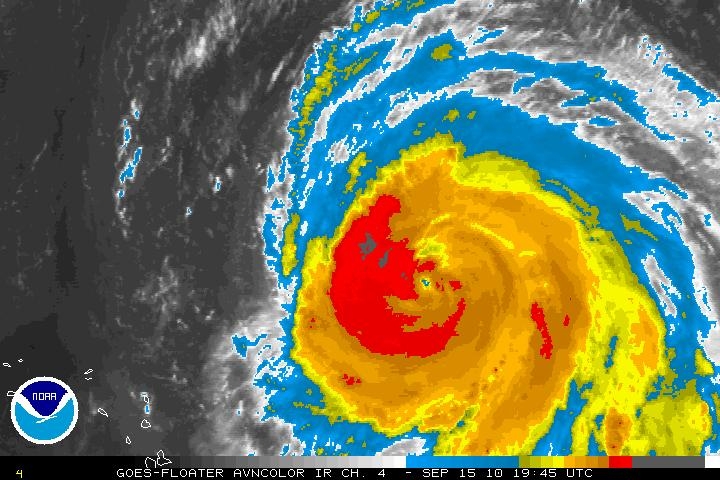
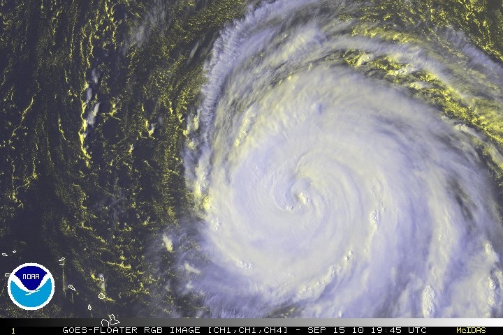
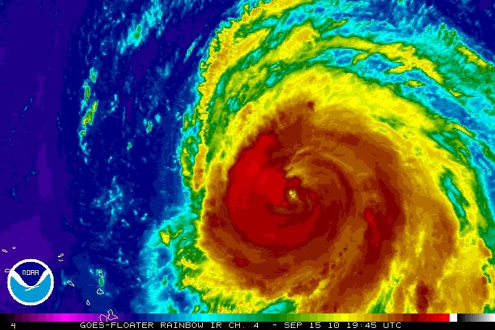
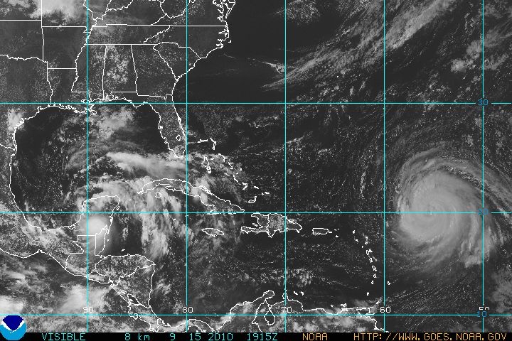
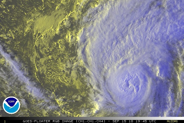
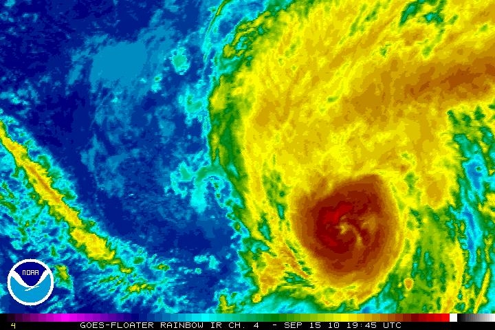
At that time, Tropical Storm Karl (left) was making landfall in Mexico's Yucatan Peninsula, Category 4 Hurricane Igor was spinning in the Atlantic Ocean (center) over 1000 miles southeast of Bermuda, and Category 4 Hurricane Julia trailing to Igor's east (far right) about 600 miles west-northwest of the Cape Verde Islands in the eastern Atlantic Ocean.
GOES satellites are operated by the National Oceanic and Atmospheric Administration. NASA's GOES Project, located at NASA's Goddard Space Flight Center, Greenbelt, Md. creates satellite images and animations using GOES satellite data.

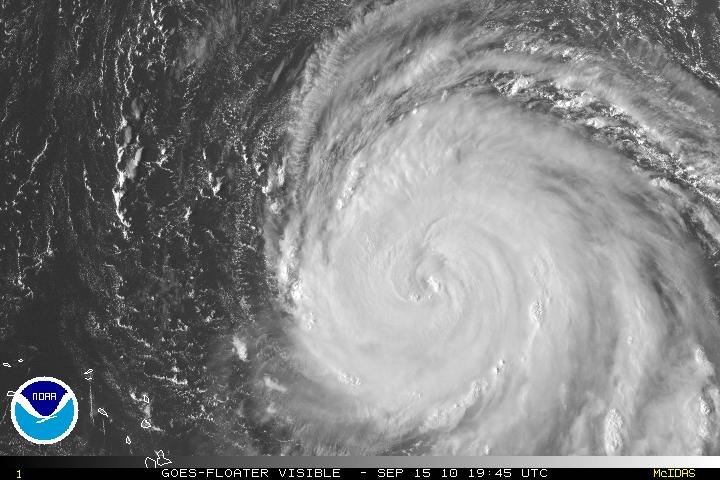
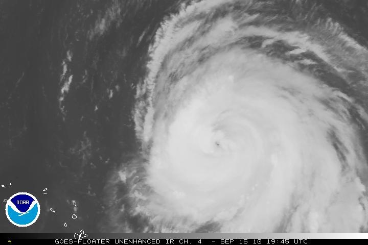
Igor and Julia are both category 4 hurricanes
Hurricanes Igor and Julia churn in the Atlantic Ocean taking advantage of very warm sea surface temperatures to both reach category 4 strength. This image from 1145Z taken by GOES-East shows the relative sizes of the storms. Igor still has Bermuda in its sites while Julia is expected to remain well away from land.

Julia:
HD MODIS opname:
Bericht laatst bijgewerkt: 15-09-2010 22:31
@wthus (Twitter/Insta/Vero/Facebook) | Keerl, e-j zol eens wat meer moet’n doetinchemm’n | Bezoek ook: www.weerstation-dichteren.nl | www.buurmaaktnatuur.nl

