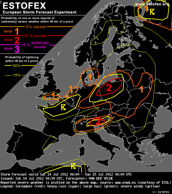
...UK, Netherlands and Denmark areas...
These level 1 areas mark regions where conditions appear the most favorable for spout-type tornados. Both area see vorticity fringes in good low level instability, very high relative humidity airmass, as 00Z soundings also indicated. Storm motion should be quite slow and shear weak. These factors are often found during spout outbreaks, and indeed the past days the upper cold pool has had a history of producing funnel clouds and spouts.
Possibly also the coast of the Netherlands, Belgium, N Germany may see some, but instability seems better inland for much of the day, where flow however is likely too strong for this phenomenon. The early morning seems best and currently (04Z) there is a convergence zone in place with line of showers on radar (southern IJsselmeer) , so a level 1 was added here too.
Bericht laatst bijgewerkt: 14-07-2012 06:56
 *Regenjas aan*