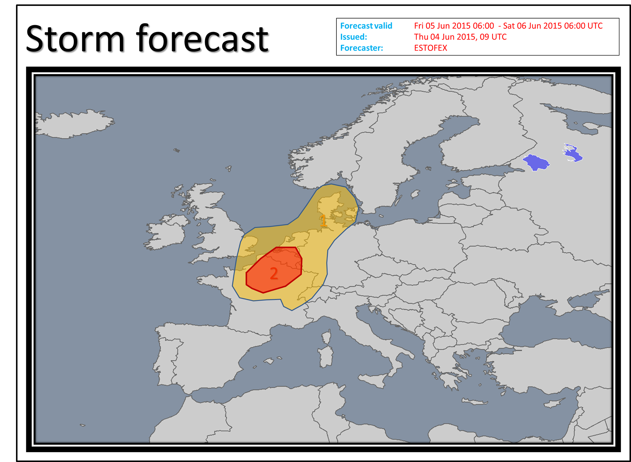
Ahead of the trough, a plume of rich low-level moisture is expected along a convergence line spreading into N France and BENELUX during the day. As moisture will overlap with quite steep lapse rates, MLCAPE will be on the order of 1500 J/kg. Initiation will occur along the convergence line. Due to the moderate to strong vertical wind shear (0-6 km bulk shear around 15 - 25 m/s), well organised convection is expected, including a few supercells, spreading northeast. Storms may merge to a linear cluster along the convergence zone, given parallel flow to the boundary. Main threat will be large to very large hail and severe wind gusts. Tornado potential is questionable and will depend on the storm mode during the evening and degree of low level wind shear, which will be strongest in Netherlands during the evening. Level 2 is issued for the area with the best CAPE / shear overlap and where models produce best signals for convective initiation. Less moisture / and shear is expected towards east and south of Level 2. This forecast was based on 00 UTC model data.