Mesoscale Discussion - 5 June 2015 12:45 UTC
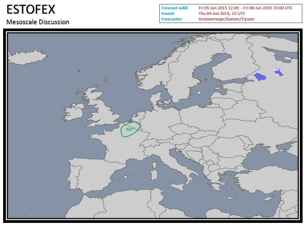
At 1200 UTC a surface cold front was located along a line from Dunkirk to Le Mans. Strong convergence of surface winds is occurring over far northern France. The Paris/Trappes sounding of 12 UTC shows high instability - CAPE of 2100 J/kg - and 15 m/s of 0-6 km shear and very little convective inhibition. A field of towering cumulus has developed between Paris and Dunkirk. In this area, storm initiation is imminent in the 12 – 14 UTC time frame. A few supercells capable of producing very large hail and severe wind gusts will develop and move northeastward into Belgium. Quote selectie
At 1200 UTC a surface cold front was located along a line from Dunkirk to Le Mans. Strong convergence of surface winds is occurring over far northern France. The Paris/Trappes sounding of 12 UTC shows high instability - CAPE of 2100 J/kg - and 15 m/s of 0-6 km shear and very little convective inhibition. A field of towering cumulus has developed between Paris and Dunkirk. In this area, storm initiation is imminent in the 12 – 14 UTC time frame. A few supercells capable of producing very large hail and severe wind gusts will develop and move northeastward into Belgium. Quote selectie
Liefhebber van zware onweersbuien en grote hoeveelheden sneeuw
