Nieuwe Mesoscale Discussion Estofex: tornadokans aanwezig
Bericht van: Ben (Lelystad) , 30-08-2015 22:02
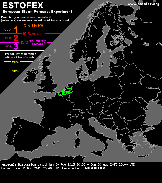
Convective storms are rapidly developing across west Belgium and the southern Netherlands. With surface dew points in the 20-23 C range, about 2000 J/kg of CAPE should be in place. Strong deep-layer (0-6 km) shear of 20-25 m/s aids in storm rotation, so that storms quickly acquire rotation as is evident from the hook-echo features on KNMI radar. The storms can produce very large hail, severe wind gusts, extreme rainfall rates as well as a few tornadoes, given that low level shear should be adequate for tornadogenesis: observed NE surface winds of 5 m/s topped by 10 m/s wind from the southwest at 850 hPa per NWP. Towards the end of the MD period, the storms will gradually become less surface-based and cluster, diminishing the tornado risk.