000
WTPZ41 KNHC 101431
TCDEP1

Tropical Storm Adrian Discussion Number   4
NWS National Hurricane Center Miami FL       EP012017
1000 AM CDT Wed May 10 2017

Adrian's satellite presentation is less organized than yesterday,
with little evidence of convective banding features along with a
few bursts of deep convection to the north and northwest of the
estimated center.  Vertical cross-sections through the latest GFS
model analysis indicate a significant tilt of the vortex from
southeast to northwest with height.  This is consistent with
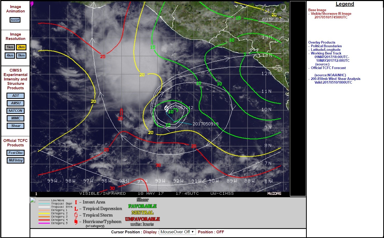
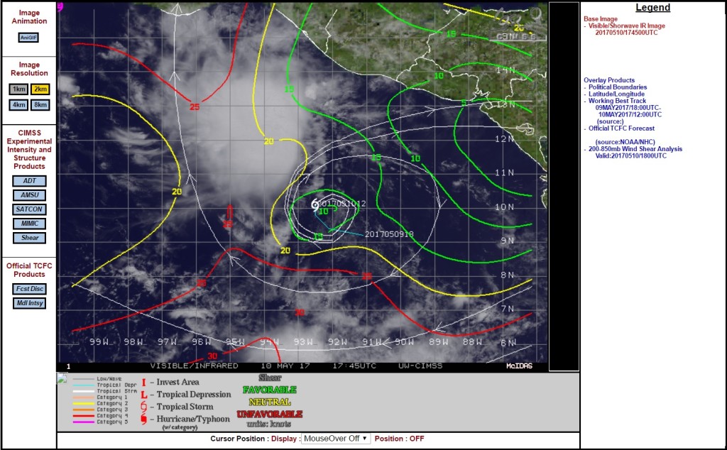
analyses from UW-CIMSS that show around 20-25 kt of mid-level
southeasterly shear across the tropical cyclone.  This disruption
of the vertical coherency of the system is likely one of the reasons
that Adrian has not strengthened much.  The current intensity is
held at 40 kt based on earlier scatterometer data, although the
latest Dvorak estimates and the disorganized cloud pattern suggest
it might be a little weaker.  The global models do not call for
Adrian to intensify over the next several days, but the
statistical/dynamical models still show the system becoming a
hurricane within 72 hours.

http://www.nhc.noaa.gov/text/refresh/MIATCDEP1+shtml/101431.shtml
 Quote selectie