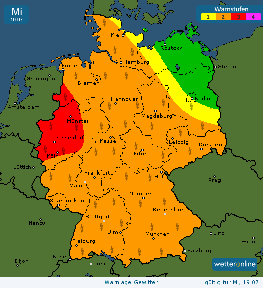
daar kun je onze oostelijke regio's wel bij meetellen denk ik. En ook Estofex komt met een eerste aankondiging voor de komende dagen
SYNOPSIS
An active trough affects Scandinavia and NW Russia. A long cold front from Ukraine to Kola Peninsula moves into unstable air, overlapping with strong shear. Cooler unstable air follows over N Sweden and Finland.
Cold front extends down from Ukraine also into the Greece and Turkey area, where an upper low destabilizes the air mass by strong lift ahead of it..
Over southwestern Europe, a new episode of Spanish Plume is brewing with a Biscay low developing, but being mostly capped and lacking lift, convective initiation should be limited until massive potential is released later on Tuesday by the incoming upper trough.
An other cold front pushes southward into Germany and southeastward into southern Poland, with some convective activity in modest CAPE and 5-15 m/s shear.
estofex.org