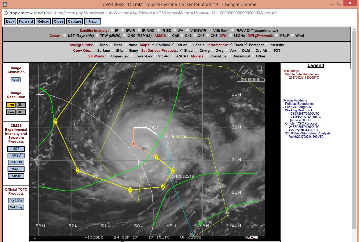
Of toch maar niet. Dit mini-orkaantje met de naam Lee heeft een doorsnede van maar 150 km, maar kan wel een major hurricane worden.
DISCUSSION AND 48-HOUR OUTLOOK
------------------------------
At 1100 AM AST (1500 UTC), the eye of Hurricane Lee was located
near latitude 31.4 North, longitude 49.9 West. Lee is moving toward
the southeast near 3 mph (6 km/h) and this motion is expected to
continue during the next 24 hours. A turn toward the southwest or
west-southwest is expected by late Monday.

Maximum sustained winds are near 90 mph (150 km/h) with higher
gusts. Some strengthening is forecast during the next 48 hours,
and Lee could be near major hurricane strength on Monday.

Lee is a very small hurricane. Hurricane-force winds only extend
outward up to 10 miles (20 km) from the center and tropical-storm-
force winds extend outward up to 45 miles (75 km).

The estimated minimum central pressure is 982 mb (29.00 inches).


HAZARDS AFFECTING LAND
----------------------
None.
http://www.nhc.noaa.gov/text/refresh/MIATCPAT4+shtml/241449.shtml