net aan cat 3,
000
WTNT44 KNHC 271449
TCDAT4

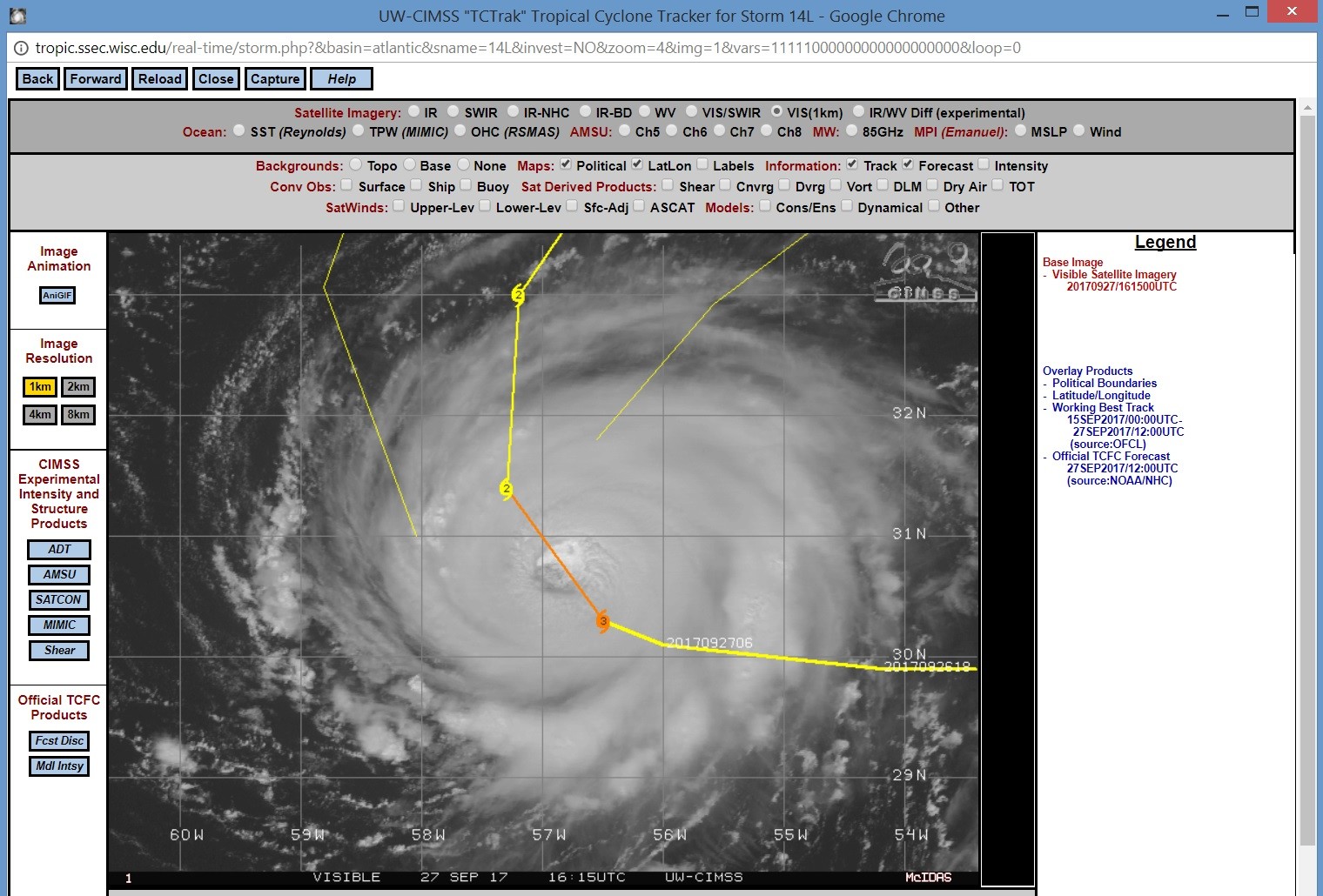
Hurricane Lee Discussion Number  38
NWS National Hurricane Center Miami FL       AL142017
1100 AM AST Wed Sep 27 2017

After an eyewall replacement overnight, satellite images indicate
that a larger clear eye has formed, with the coldest cloud-top
temperatures seen to date observed with the cyclone.  While
subjective Dvorak estimates have been fluctuating between 90-102 kt,
the latest objective estimate is 102 kt, and a 1050 UTC AMSU
estimate from CIMSS is 104 kt.  A blend of these data gives an
initial wind speed of 100 kt, making Lee the 5th major hurricane of
the 2017 Atlantic season.  A gradual decrease in water temperatures
should start a weakening trend within 12-24 hours, with a faster
weakening forecast on Thursday and Friday as Lee enters a high-shear
environment.  Guidance is in good agreement on this scenario, and
the latest forecast is very close to the previous one.
..
Maximum sustained winds have increased to near 115 mph (185 km/h)
with higher gusts.  Lee is a category 3 hurricane on the
Saffir-Simpson Hurricane Wind Scale.  Slow weakening is forecast
during the next 48 hours.

Hurricane-force winds extend outward up to 35 miles (55 km) from the
center and tropical-storm-force winds extend outward up to 90 miles
(150 km).

The estimated minimum central pressure is 963 mb (28.44 inches).


HAZARDS AFFECTING LAND
----------------------
None.


NEXT ADVISORY
-------------
Next complete advisory at 500 PM AST.

$$
Forecaster Blake

NNNN
http://www.nhc.noaa.gov/text/refresh/MIATCDAT4+shtml/271449.shtml
Bericht laatst bijgewerkt: 27-09-2017 20:27