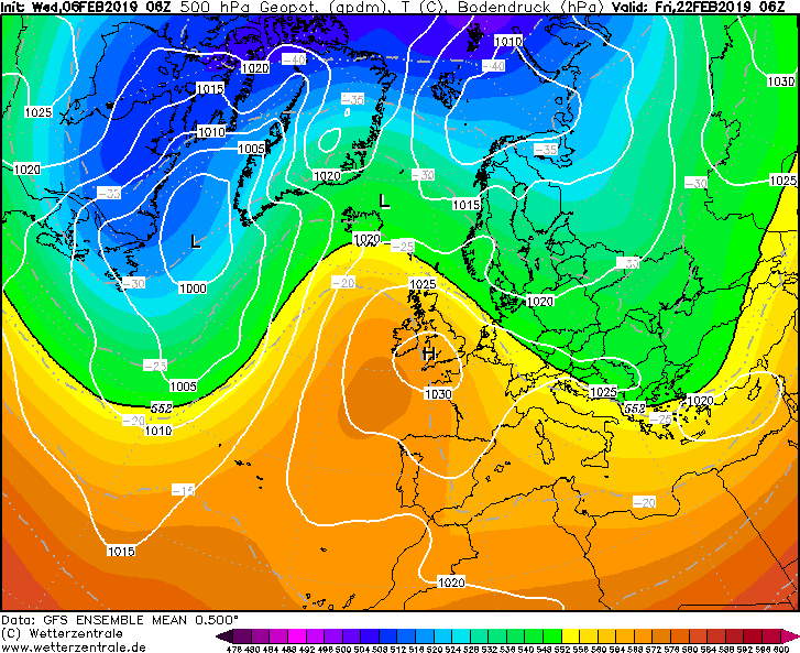
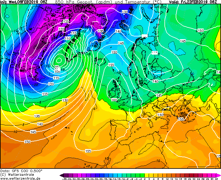
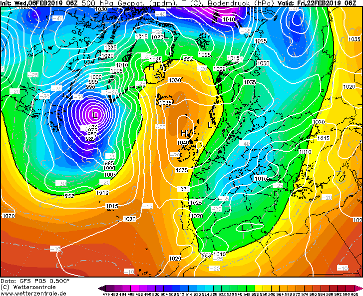
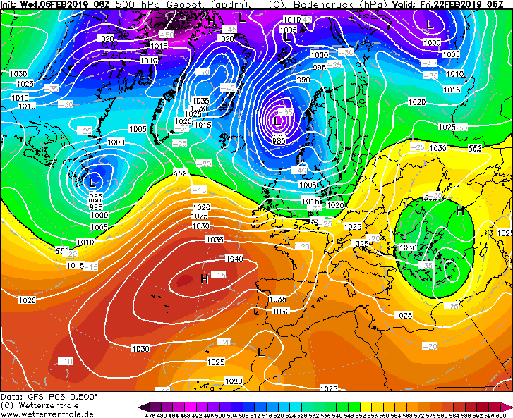
Ik zie een setting met kansen. Daarmee bedoel ik dat je een geblokkeerd patroon ziet.
Puur gemiddeld genomen is dit natuurlijk niets. Bartletthoog. Bah. Maar 'we' zien ook dat de WC aan banden wordt gelegd.
Het ENS is natuurlijk een gemiddelde met de nodige variatie. M.i. komt er in de periode tussen 15 en 25 februari een mogelijkheid aan om tot N-blokkades te komen. Details zijn niet te geven. Kans hierop is groter dan normaal op basis van ontwikkelingen in de tropen. Het gaat dus om een grotere kans dan normaal.
Edit. UKMO schat de kans op O-stroming niet groot.
UK Outlook for Thursday 21 Feb 2019 to Thursday 7 Mar 2019:
It is too early to say for certain what will happen from mid February onwards, so it is best to keep up to date with the latest forecasts. What currently seems more likely is for drier, brighter and somewhat colder conditions to dominate, giving night frosts, more particularly across central and southeastern areas of the UK. However, the situation is finely balanced and spells of milder, more unsettled weather are still likely at times, especially in the northwest. There is a low likelihood of a spell of more widely cold conditions developing with snow in places, accompanied by easterly winds.
https://www.metoffice.gov.uk/public/weather/forecast
Een aantal varianten: