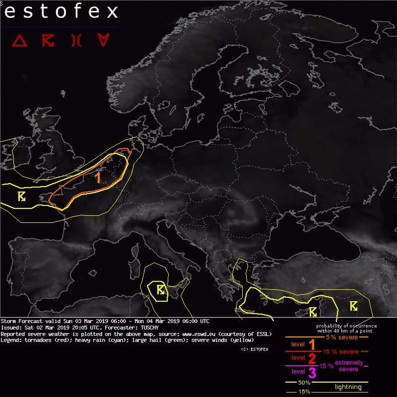
Estofex level 1 voor zondag op maandag nacht vroege ochtend.
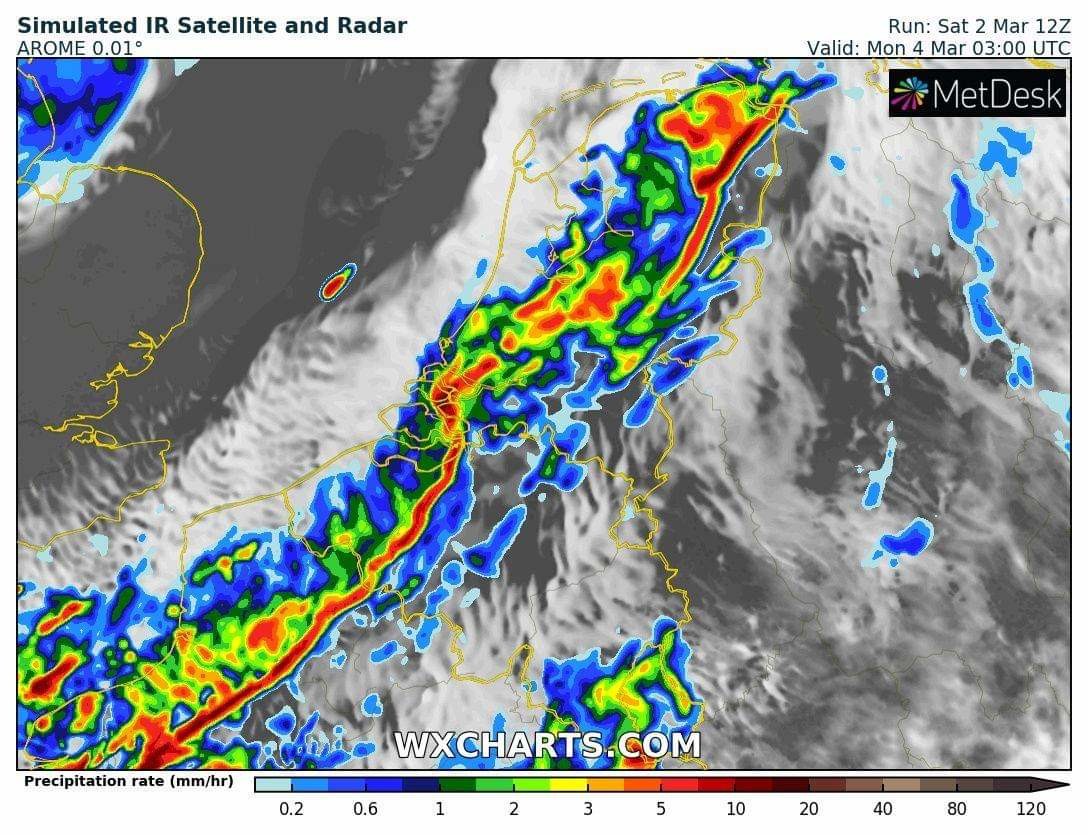
Bericht van: Paul (Heesch) , 02-03-2019 22:16A level 1 was issued across N France and Belgium/Netherlands mainly for severe wind gusts and a tornado risk. ... N-France to Belgium and the Netherlands ... A nocturnal severe risk is forecast. Driving features for this confined area with enhanced severe were already described in the SYNOPSIS part. A splitting low-tropospheric trough results in enhanced post (cold) frontal convergence, which induces lift in a weakly capped low LCL environment. 200-400 J/kg SBCAPE evolve as the westward pulled WCB air mass gets overtaken by cold mid-levels and steep mid-level lapse rates. 25-30 m/s LL shear overlaps with the CAPE plume and forecast soundings reveal an equal mixing depth, so severe wind gusts in that speed magnitude are possible with any thunderstorm. This risk is reinforced along short line segments, as near parallel background flow to the storm motion favors downstream seeding of precipitation cores (probably resulting in a SW-NE aligned LEWP pattern). Strongest cores may also be accompanied by some hail. During the trough passage more backed LL flow results in better LL hodograph curvature. Also deviating storms may ingest enough SRH for LL rotation. Combined with sub 800-1000 m LCL heights, an isolated tornado event is forecast with tail-end or more discrete thunderstorms.
 Bewust heb ik er een vraagteken achter gezet.