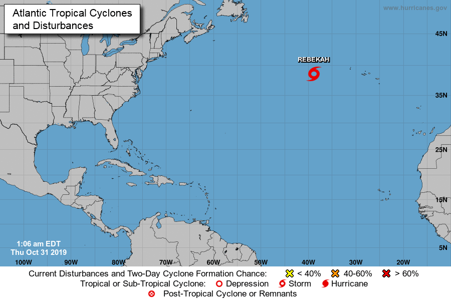
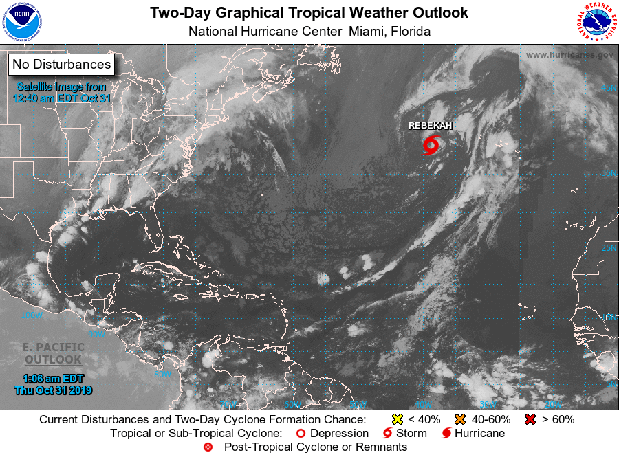
Toch behoorlijk opgeschaald afgelopen twee dagen en ontstaan uit eigenlijk ordinaire storm depressie die iets te zuidelijk zat. Het lijkt alweer zo gewoon, maar dat een tropisch systeem überhaupt kan ontstaan op 38,5 graden N boven water van 22 a 23 graden is toch wel bijzonder.
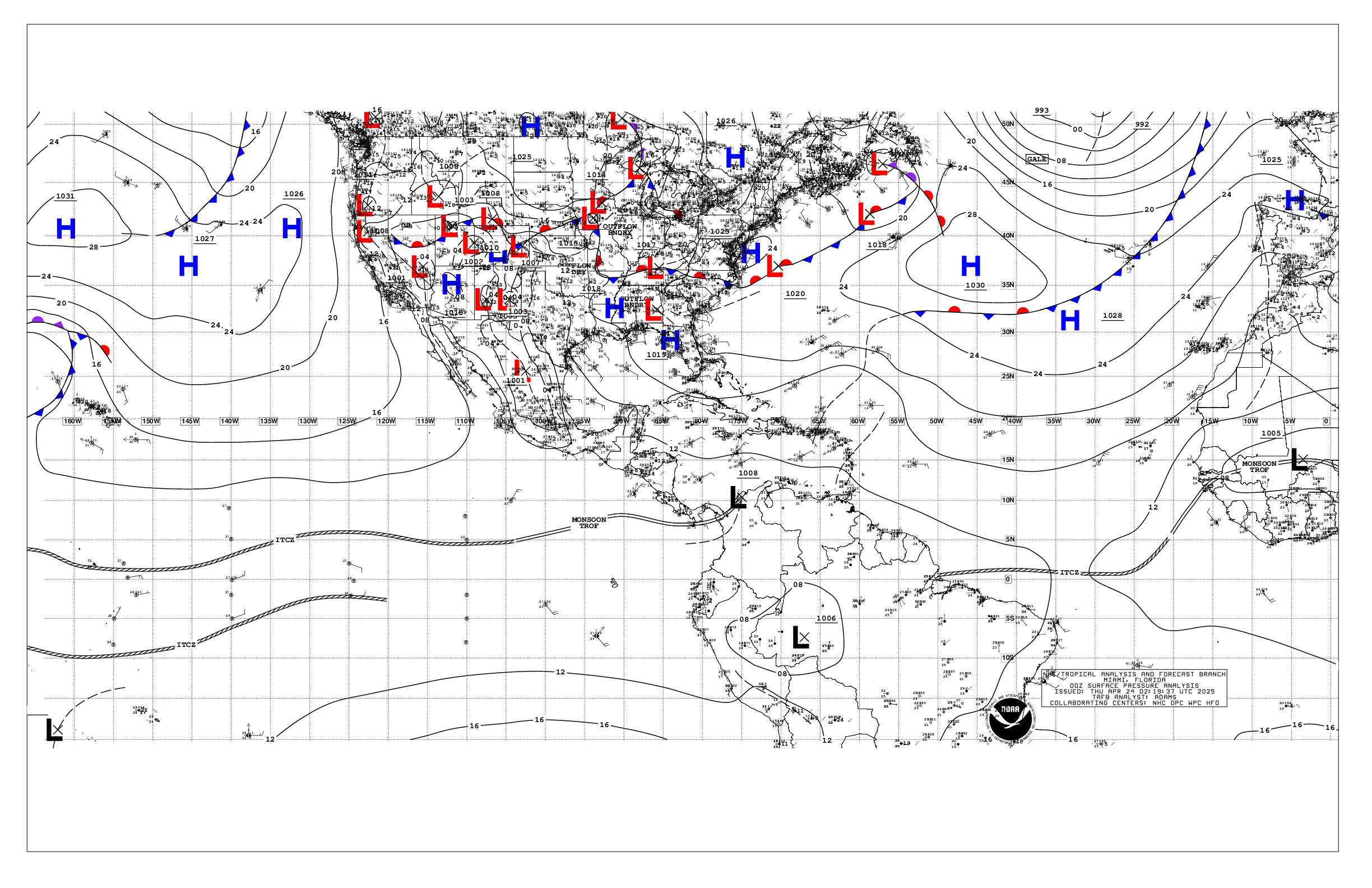
Based on 0000 UTC surface analysis and satellite imagery through
0520 UTC.

...SPECIAL FEATURES...

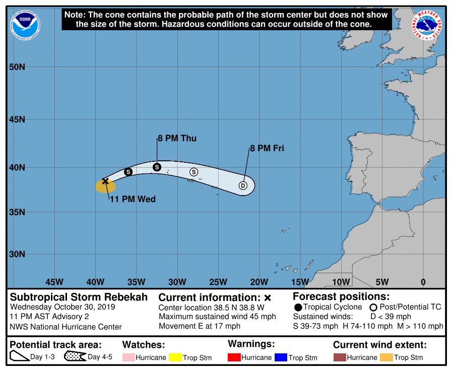
Subtropical Storm Rebekah is centered near 38.5N 38.8W at 31/0300
UTC or 556 nm W of the Azores. The estimated central pressure is
987 mb and estimated maximum sustained wind speed is 40 kt with
gusts to 50 kt. Rebekah is moving E at 15 kt. Scattered showers
are seen within 100 nm of the center in the NE and SE quadrant.
Rebekah is expected to turn toward the east-northeast early
Thursday. A turn back toward the east and east-southeast is
anticipated on late Thursday and Friday. Little change in strength
is anticipated for the next day or so, but gradual weakening is
expected thereafter. Rebekah is forecast to become a post-tropical
cyclone on Friday. See the latest NHC forecast/advisory under
AWIPS/WMO headers MIATCMAT4/WTNT24 KNHC or www.hurricanes.gov for
more details.
Bericht laatst bijgewerkt: 31-10-2019 08:17