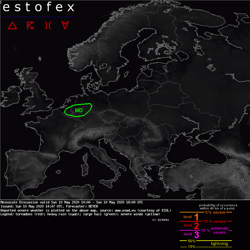
Mesoscale Discussion
Valid: Sun 10 May 2020 14:00 to Sun 10 May 2020 18:00 UTC
Issued: Sun 10 May 2020 14:47
Forecaster: BEYER
Along the convergence line associated with the southward moving cold front a landspout related to a shower has been observed near Antwerpen.
Wind vectors in that region show a sharp turn from SW to N. Forecast soundings of LAM indicate a nice clockwise curvature of wind vectors in the lowest kilometer.
Thus, with similar conditions, further landspouts are possible along the convergence zone, also to the east into Germany. The polygon indicates the region with highest dewpoint. Further east the convergence is still present but LL are too try (much lower dewpoints).
The cold front and thus the landspout risk will move further south during the forecast period