000
WTNT44 KNHC 030259
TCDAT4

Hurricane Eta Discussion Number  10
NWS National Hurricane Center Miami FL       AL292020
1000 PM EST Mon Nov 02 2020

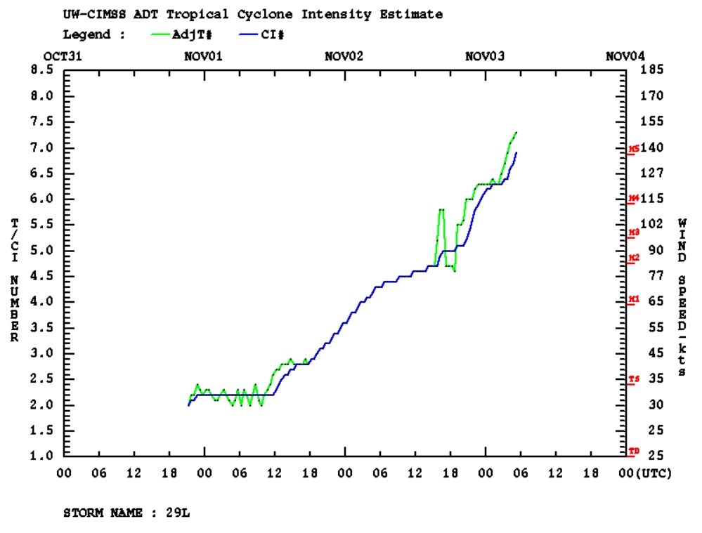
An Air Force Reserve reconnaissance aircraft has found that Eta has
explosively deepened into a strong category 4 hurricane with maximum
sustained winds of 130 kt and a minimum central pressure of 927 mb.
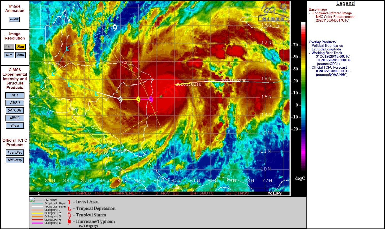
Eta has maintained a small 10-nmi-wide eye that is evident in
satellite imagery and on the San Andreas, Colombia, weather radar.
The radar data also suggest that concentric eyewalls may be forming,
which would be an indication of the onset of an eyewall replacement
cycle (ERC) and a capping of Eta's intensity and also an end to the
rapid intensification cycle of the past 36 hours. The initial
intensity of 130 kt kt is based on 700-mb flight-level winds of 137
kt and SFMR surface winds of 130 kt. Some additional strengthening
is expected, and Eta could become a category 5 hurricane before
landfall occurs. After landfall, Eta should quickly weaken while it
moves over the mountainous terrain of Central America.


https://www.nhc.noaa.gov/text/refresh/MIATCDAT4+shtml/030259.shtml

Bericht laatst bijgewerkt: 03-11-2020 07:22