Het zal daar weer spoken lijkt me met een bow echo en de vele bomen in de regio!
"Most forecast models simulate a more or less quick upscale growth into one or two large bowing lines, which can produce widespread severe and even scattered extreme (> 32 m/s) wind gusts, owing both to the strenghtening mid-level wind field and plentiful subcloud evaporation due to the rather high cloud bases. However, the scatter of simulated storm tracks is also extremely large, spanning a more than 500 km wide corridor from Luxemburg in the NW to the German/Austrian border in the SE."
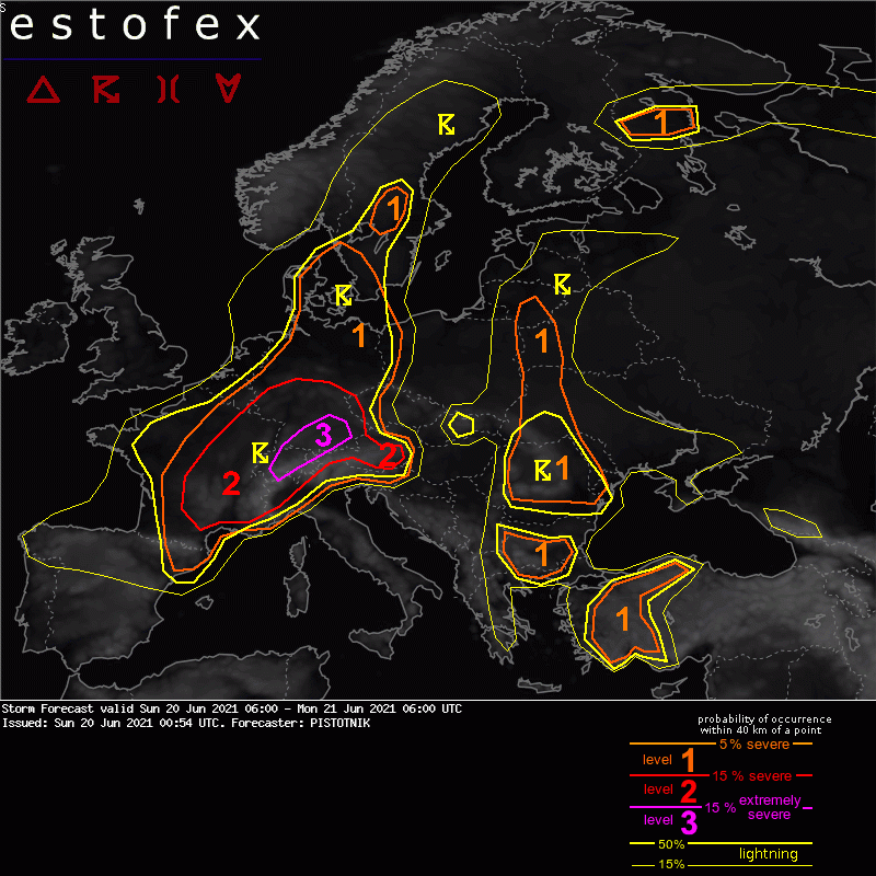
Bericht laatst bijgewerkt: 20-06-2021 10:00
Onweer - sneeuw of storm op komst? NoodweerBenelux