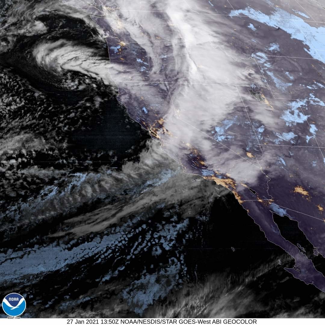
You might have heard the term 'atmospheric river', especially if you're located on the west coast. This weather phenomena is becoming more of a regularity, but what is it? Here's a breakdown from StormGeo Long-range Forecaster Fred Schmude: An #atmosphericriver is a large band (800 km wide on avg) of water vapor in the sky associated with a cold phase of the Pacific Decadal Oscillation (PDO). As the vapor travels over mountains, it cools, creating a strong polar storm that brings heavy rain or snowfall.  Due to this season's cold PDO and a stronger than normal polar storm track, we have seen a high number of storms hitting western Canada and the Pacific Northwest. This is also a common occurrence in California, when the Pineapple Express (an atmospheric river caused by a strong El Niño) hits the region. This can cause mudslides, mountain blizzards and structural damage along the coast.