Maar dan moet je wel zeer gedetaileerde beelden in een animatie met korte intervallen zien.
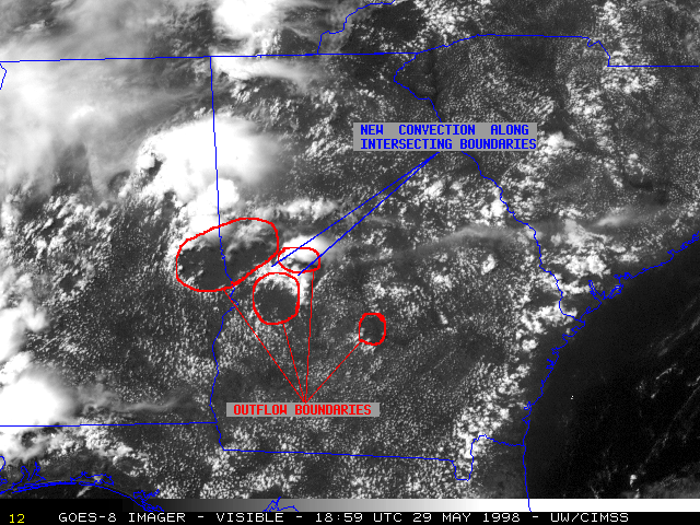
"Thunderstorm outflow boundaries (arc cloud lines), and their importance in the development and evolution of all types of thunderstorms was first recognized using animated satellite imagery. Doppler radar has confirmed the importance of recognizing and tracking arc cloud lines for short term convective forecasting."
Deze film is fenomenaal:
GOES-9 rapid scans of South Florida for 12 hours on July 2nd (3.5 MByte MPEG, 360 frames!!)
Enkele andere voorbeelden:
"Thunderstorm outflow boundaries (arc cloud lines), and their importance in the development and evolution of all types of thunderstorms was first recognized using animated satellite imagery. Doppler radar has confirmed the importance of recognizing and tracking arc cloud lines for short term convective forecasting."
Deze film is fenomenaal:
GOES-9 rapid scans of South Florida for 12 hours on July 2nd (3.5 MByte MPEG, 360 frames!!)
Enkele andere voorbeelden:

Bericht laatst bijgewerkt: 11-06-2005 12:41
