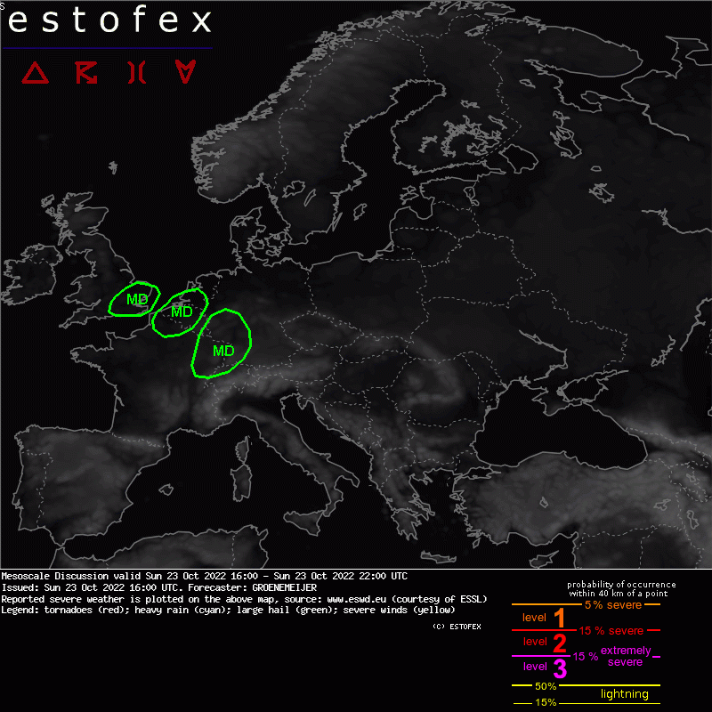
MESOSCALE DISCUSSION
N France, Benelux ...
A cluster of storms including supercells is entering the Hauts-de-France region as it moves northeastward at 20-25 m/s. A particularly severe long-lived supercell near Amiens has a history of producing large hail of around 5 cm. Potentially tornadic damage has been reported near the mouth of the Seine.
The cluster of storms should continue to move Northeast into Belgium and Netherlands during the coming hours. As it does so, it should encounter an air mass with long curved hodographs with about 300 m2/s2 SRH01 per ICON-D2/ICON-RUC. This suggests that strong tornadoes could form.
By mid-evening, the risk of tornadoes should gradually become somewhat lower in response to boundary layer stabilization. The risk for severe wind gusts will persist longer.