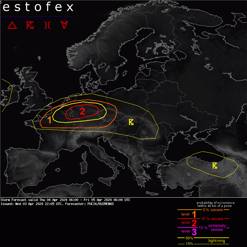
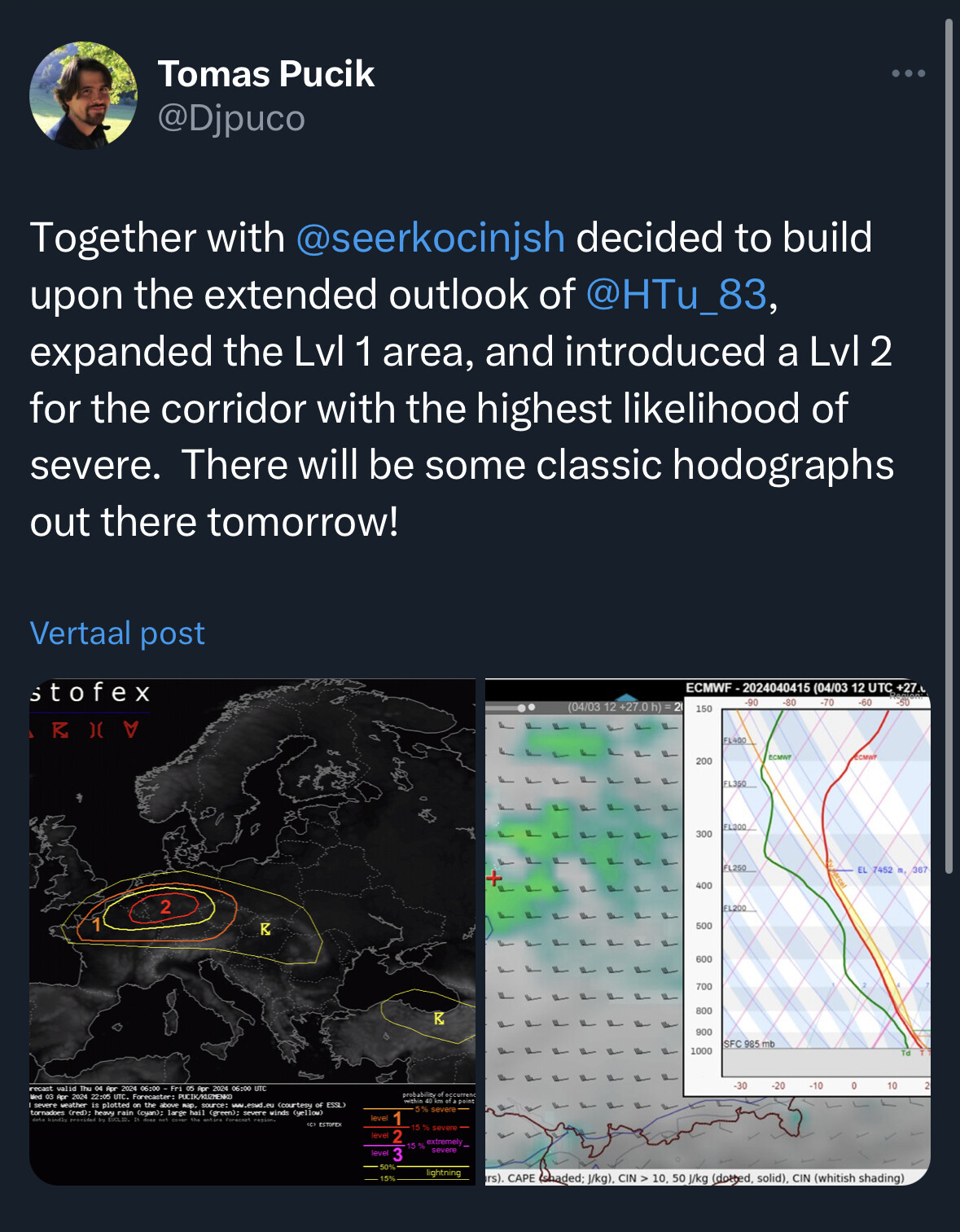
A fast-moving, low-amplitude short-wave trough will move across the area, propelled by a 50+ m/s jet at 300 hPa. Combined forcing of the trough and an exit region of the jet will yield a large stratiform rain shield. The rain shield will be followed by scattered convection developing within a plume of steeper mid-tropospheric lapse rates, resulting in several hundred J/kg of MLCAPE.
As mentioned in the extended outlook, strong deep-layer shear (> 20 m/s in the 0-3 and 0-6 km layer) will allow for well-organised storms, including supercells and bow-echoes. A favorable kinematic environment will exist for tornadoes with 0-1 km bulk shear between 10 and 15 m/s and 0-500 m SRH locally exceeding 150 m2/s2. Such an environment will be present across a large area. Besides tornadoes, severe wind gusts will also likely occur, especially within the linear segments of upscale growing storms. The intensity of wind gusts will be limited to some degree by a rather modest flow around 1 km. Marginally large hail may occur with supercells.
The convective mode will likely determine the dominant severe weather hazard. All high-resolution models simulate (widely) scattered isolated (super)cells. Only two models simulated an upscale growth into squall lines or bow echoes. Such development is possible either over southern Germany/southwestern Czechia tied to the main rain shield and the strongest forcing. Another eventuality is later on over central-east Germany, which can be boosted by cell interaction.