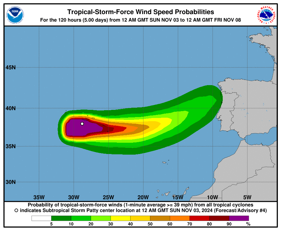
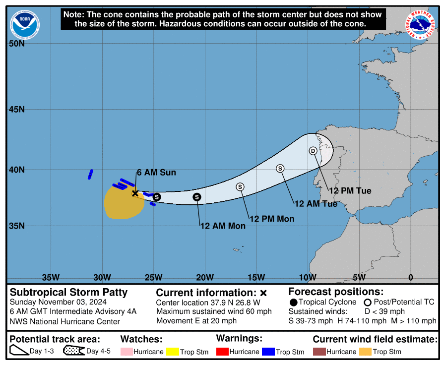
Nabij de Azoren en 3 x raden welke kant die opgaat. Jawel, richting het toch al geplaagde Spanje en Portugal. Alleen nu vanaf de Atlantische kant. De fut gaat er wel wat uit maar er zal vast genoeg energie overblijven voor een smak regen.
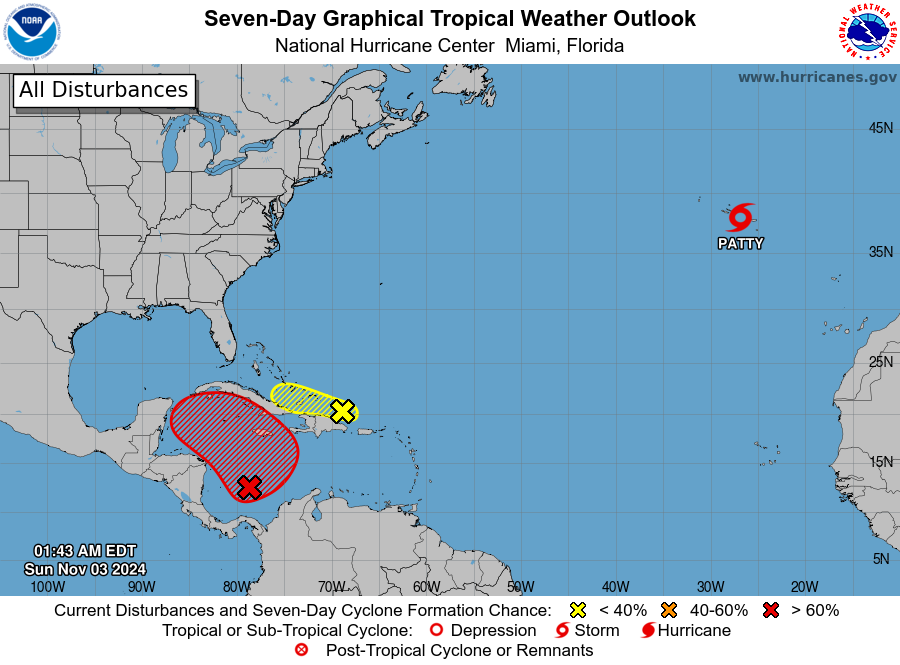
In de zuidwest hoek van Caribbean Sea zijn alle ogen gericht op Invest-AL97. De verwachtingen zijn hoog voor vorming tropische depressie.
THE SOUTHWESTERN CARIBBEAN SEA (INVEST-AL97)...

A 1006 mb low pressure center is close to 12N79W. Fresh to strong
SW winds are from the low pressure center southeastward. Precipitation:
scattered to numerous strong is within 180 nm of the center in the
E quadrant. Scattered moderate to isolated strong is elsewhere
within 330 nm of the center in the E quadrant. Isolated moderate
to locally strong is from 15N northward from 70W westward. Gradual
development of this system is expected. It is likely for a
tropical depression to form within the next couple of days. The
forecast movement is generally northward to northwestward in the
central and western sections of the Caribbean Sea. Locally heavy
rains are possible in parts of the adjacent land areas of the
western Caribbean Sea, including Jamaica, Hispaniola, and Cuba.
Anyone who has interests in the western Caribbean Sea should
monitor the progress of this system. An Air Force Hurricane Hunter
aircraft is scheduled to investigate this system later today. The
chance for tropical cyclone development during the next 48 hours
is high.
Bericht laatst bijgewerkt: 03-11-2024 08:06