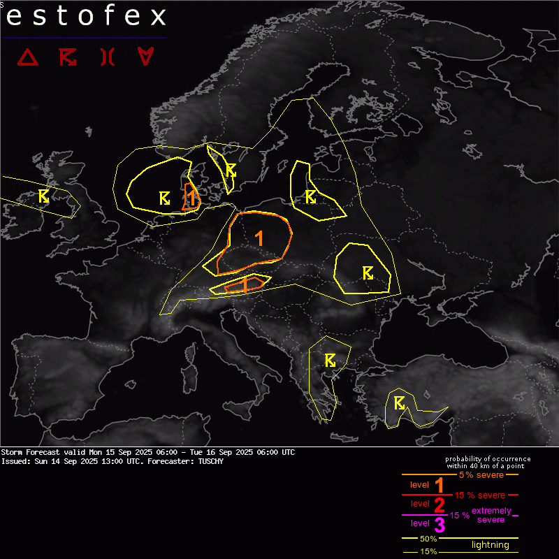
Estofex level 1 morgen voor rond de Deense grens
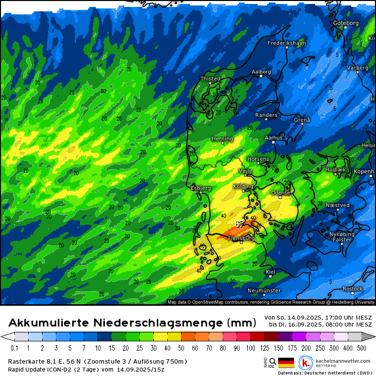
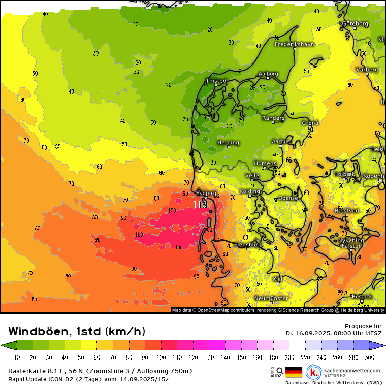
Bericht van: Peter (Wiltz -Luxemburg) , 14-09-2025 19:46Vanwege de nadering van Laag 'Zack' komt het morgenavond en de nacht naar dinsdag rond de Deense grens tot een opeenvolging van (onweers-)buien, die plaatselijk tientallen mm kunnen geven. Estofex schat daarbij in dat het in die regio plaatselijk tot waterhozen of zelfs tornado's kan komen. Ondertussen komt dan tegen dinsdagochtend ook het windveld in dat gebied aan.
DISCUSSION
... Far SW Denmark into extreme N Germany ...
Situated S of the NEward moving upper vortex, a long westerly fetch atop the warm German Bay (positive SST anomalies between 1 to 2 K) points into the level 1 area. Forecast profiles show long lasting unidirectional shear conditions, which support the growth into organized shower streets with embedded thunderstorm activity. Abundant LL CAPE is available for LL vortex stretching atop mesoscale convergence zones and a few tornadoes/waterspouts are forecast. In addition, healthy convection affects the same spots during the day with 24h rainfall amounts in the 40-80 l/qm range possible. Strong near BL flow also adds a gust risk to this convective activity, especially beyond midnight.