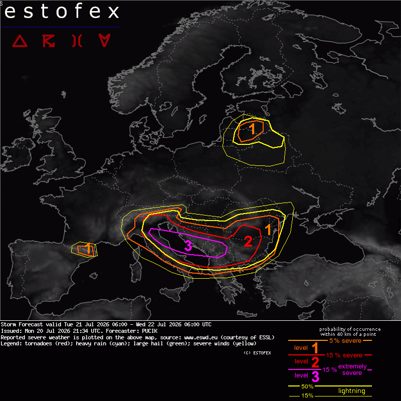
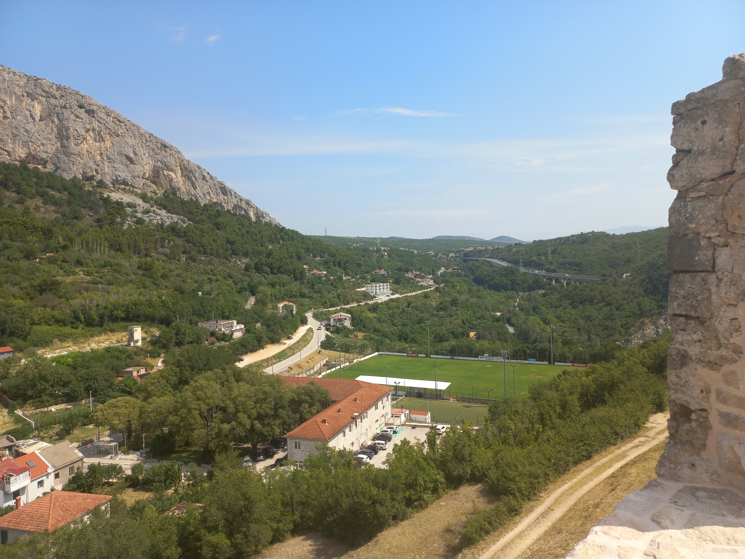
Estofex level 3 middenin het gebied waar ik verblijf momenteel. We zitten in de bergen iets ten westen van Sinj, Kroatië. Ben heel benieuwd hoe het zich gaat ontwikkelen maar de verwachting is veelbelovend met kans op alle randverschijnselen:
This region will have similarly strong deep-layer shear compared to Italy, though MLCAPE will be slightly lower, mostly in the range of 1000 to 2000 J/kg. Still, environment will be supportive of long-lived supercells and bow-echoes capable of very large hail and destructive wind gusts. Isolated spots of 0-1 km SRH around 100 m2/s2 also point to the possibility of a tornado with supercells. Storms will either: initiate directly over local orography, around the early afternoon hours and travel SE in form of isolated to scattered supercells. And/or: arrive from the Adriatic Sea in form of a long-lived supercells and bow-echoes that initiated over Italy. It is quite possible that a bow-echo capable of hurricane force wind gusts arrives from the Adriatic and continues inland. This scenario is especially likely should such system travel along the S-ward moving frontal boundary across the Adriatic, providing additional mesoscale lift. In any case, numerous rounds of (extremely) severe storms are possible in this region with activity persisting into late evening and night hours.
Bron: https://www.estofex.org/