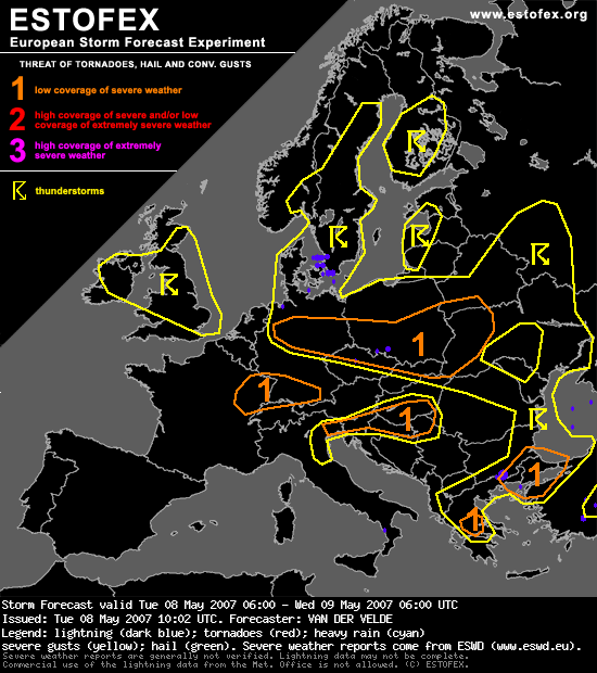
Convective cloud top temperatures colder than -20C and convective precipitation has been indicated by GFS over large parts of Europe during the forecast period. Areas in central Europe where strong deep layer shear and low level shear are present in unstable air, as well as troughs coming through, have been given a level 1 for threats of isolated severe gusts and isolated tornadoes. Storms will likely tend to organize into lines with bowing segments and fast storm motion (>20 m/s) increasing chances for severe gusts, while embedded mesocyclones may develop as result of the strong (20-40 m/s) deep layer shear and decent (8-15 m/s) 0-1 km shear. Low LCLs and locally strong low level buoyancy (as visible in e.g. De Bilt, NL sounding of 00Z) are also supportive of tornadoes.
Pardon, tornado's?