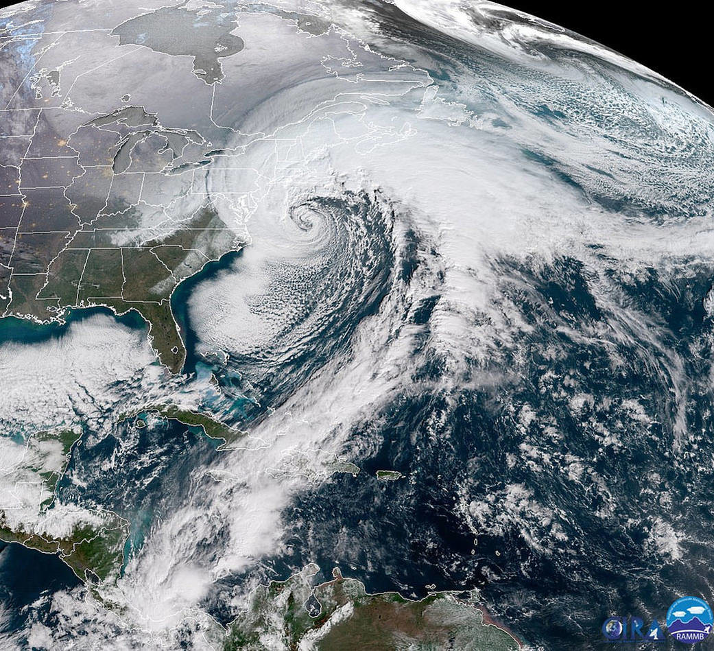
Van NASA op 4 januari 2018
The National Oceanic and Atmospheric Administration (NOAA) GOES-16 satellite caught a dramatic view of the bomb cyclone moving up the East Coast on Jan. 4, 2017. The powerful nor'easter is battering coastal areas with heavy snow and strong winds, from Florida to Maine. Notice the long line of clouds stretching over a thousand miles south of the storm, which is drawing moisture all the way from deep in the Caribbean.
Why is it called a "bomb cyclone"? Meteorologists say that a storm undergoes "bombogenesis" when it rapidly intensifies over a short period. More precisely, it's a mid-latitude cyclone that sees its central pressure drop 24 millibars or more within 24 hours. Storms like this typically bring heavy precipitation, strong winds, and coastal storm surge and are common along the East Coast during the winter months.
Image Credit: NOAA/CIRA